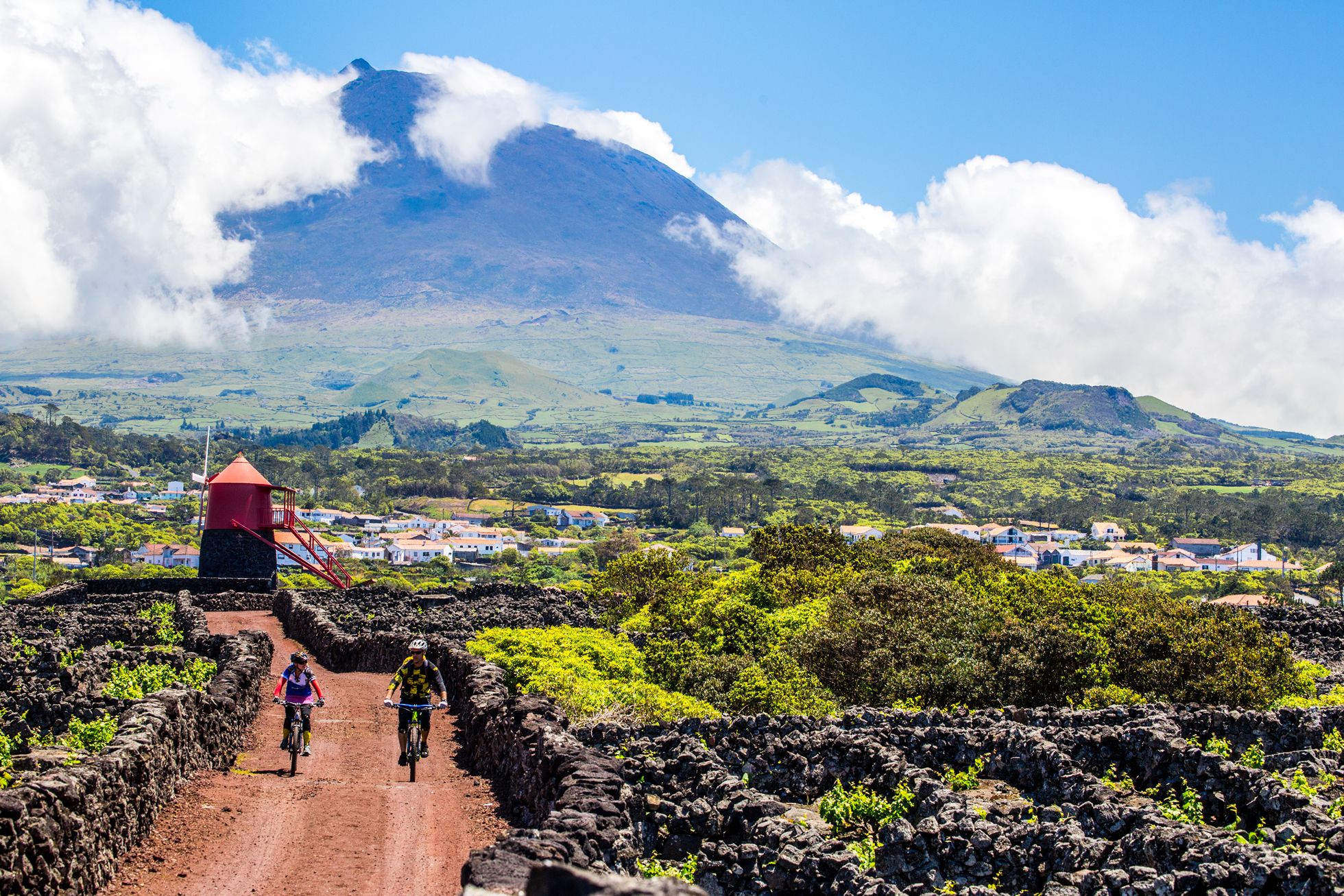
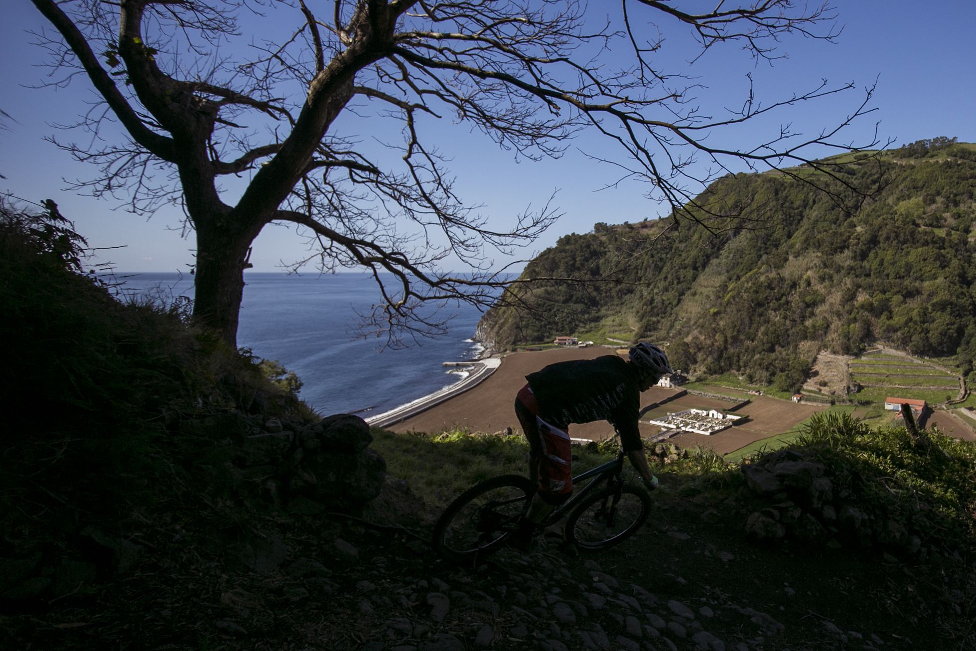
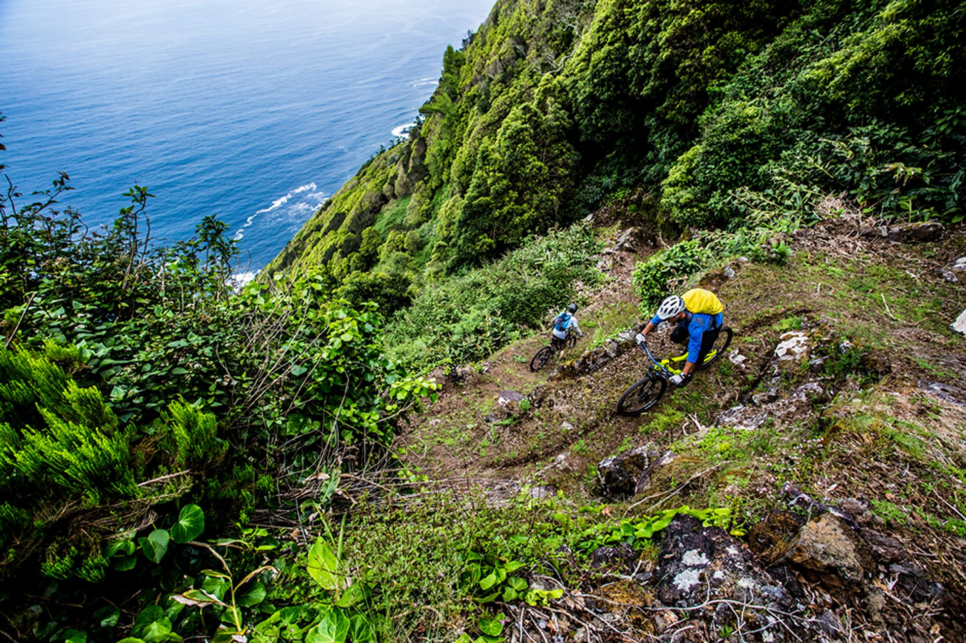
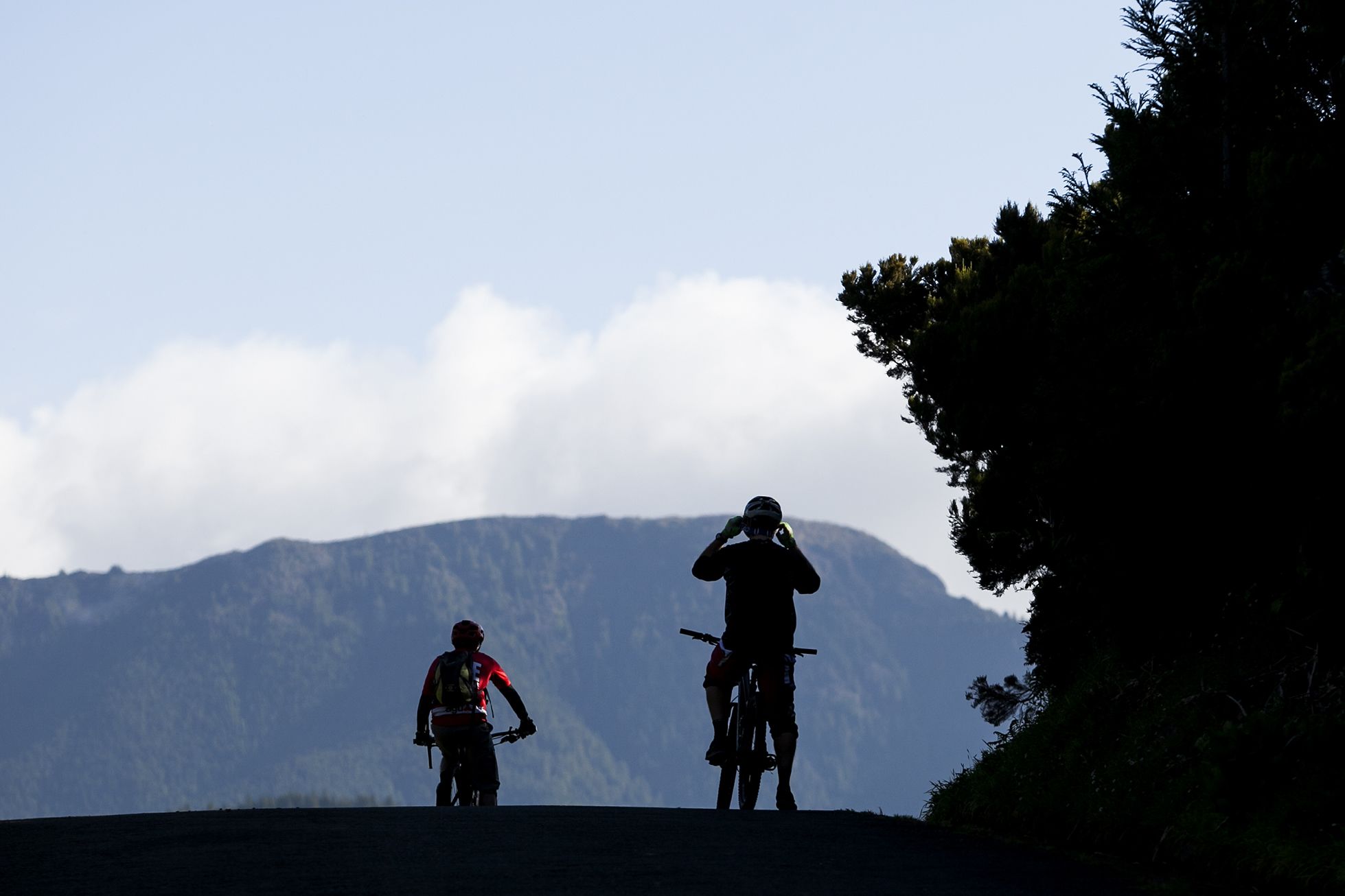
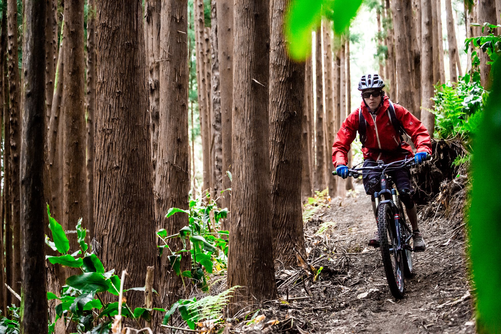
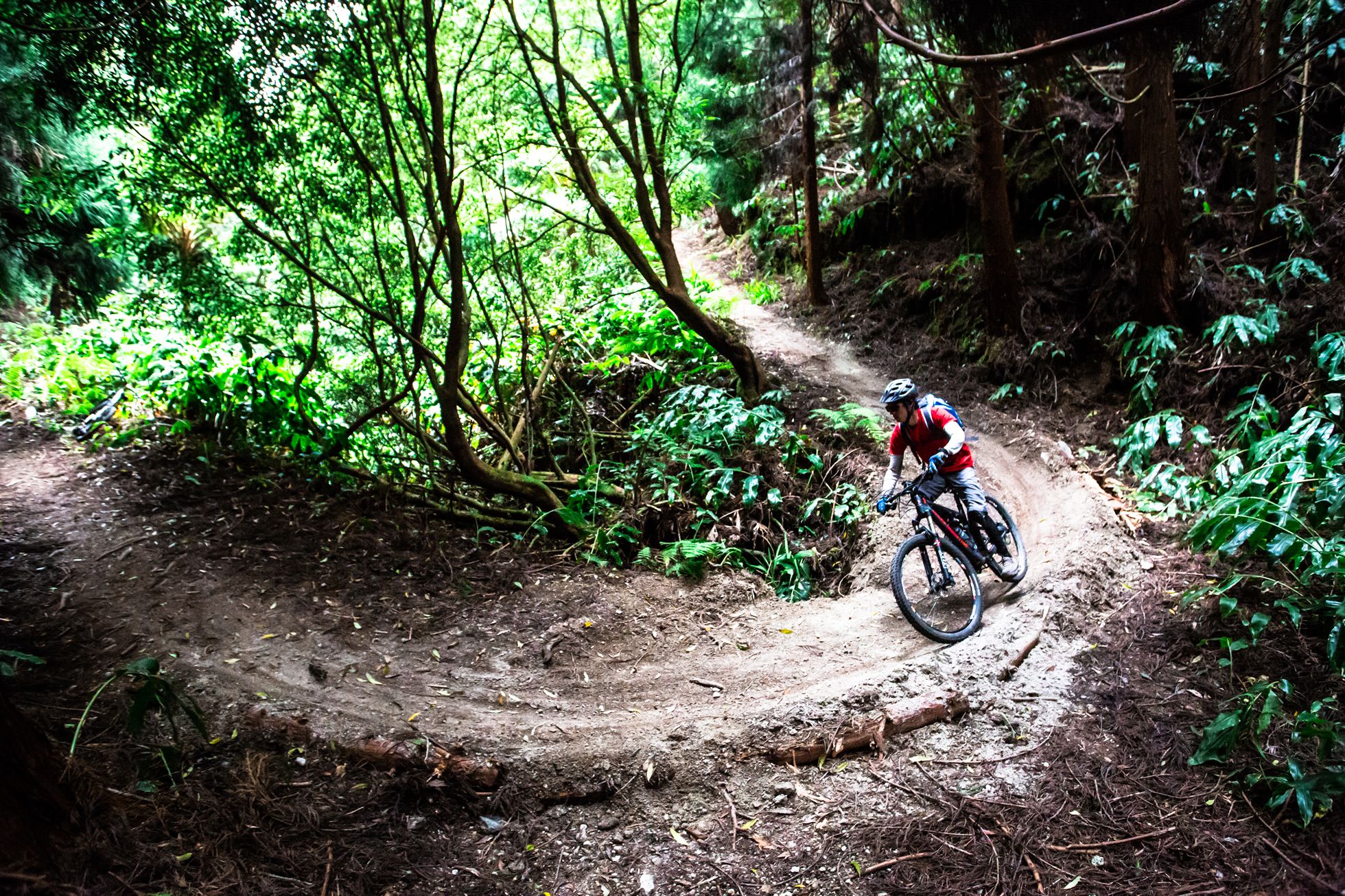

Subida da Lagoa do Fogo
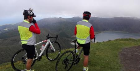
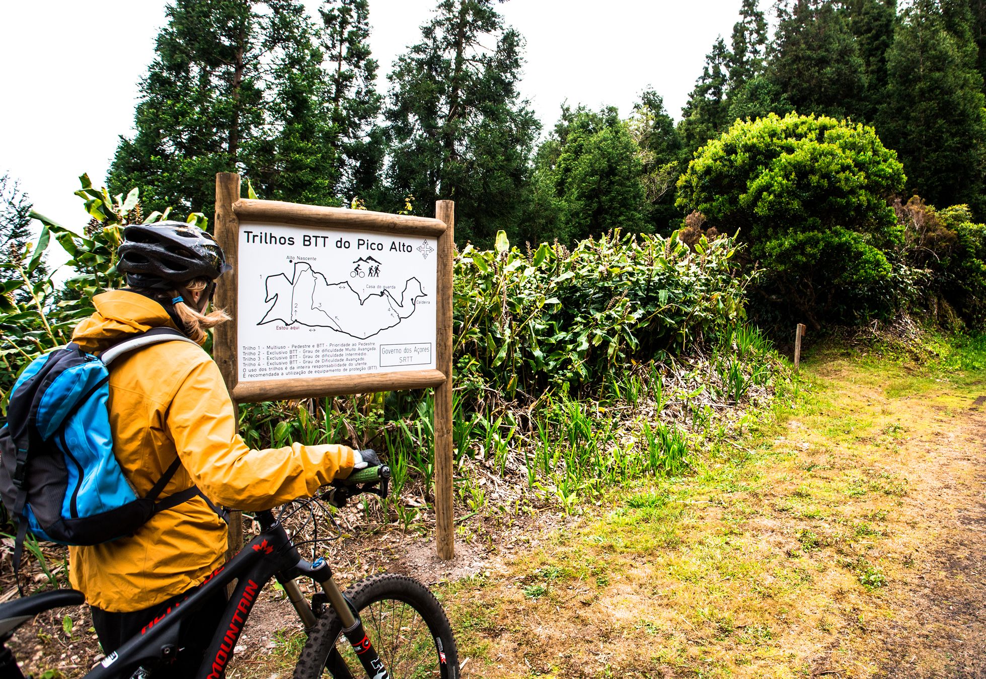
The road bike tour starts in the centre of Ponta Delgada, following the coastline eastwards. Go along the Avenida Infante D. Henrique, then turn right at the Moaçor building, and follow the Avenida do Mar cycle-path. Keep straight on along the Pópulo main road, turning right onto the Rua da Rocha Quebrada (at km 6,2), continuing on the Atalhada main road until you reach the town of Lagoa. After 8,1 km, turn left into Rua Manuel Correia Maia, and at the top, turn right into Rua Francisco Amaral Almeida. Keep straight ahead, turning left towards the roundabout. Take the second exit at the roundabout, go under the viaduct and turn right, climbing up towards the parish of Cabouco. Continue straight ahead to the industrial zone of Chã do Rego de Água, and then go down towards Stª Bárbara, reducing speed on the descent. Turn right at the crossroads, following the EN1-1. At km 19, turn right at the crossroads to the Lagoa do Fogo, beginning the climb, which is the most difficult part of the trail. At km 22,5, we suggest you stop both at the Caldeira Velha, classified as a regional natural monument, and at the Lagoa de Fogo vantage point. The climb ends at km 29, where you then begin to descend to the parish of Remédios. Reduce speed, as the surface is often irregular. Turn left at km 36,5, descending to the crossroads, and then turn right onto the regional highway. Continue straight ahead through the parish of Santa Cruz, Lagoa town centre, and on past the Pópulo beaches until you reach the end of the trail at the Portas do Mar.