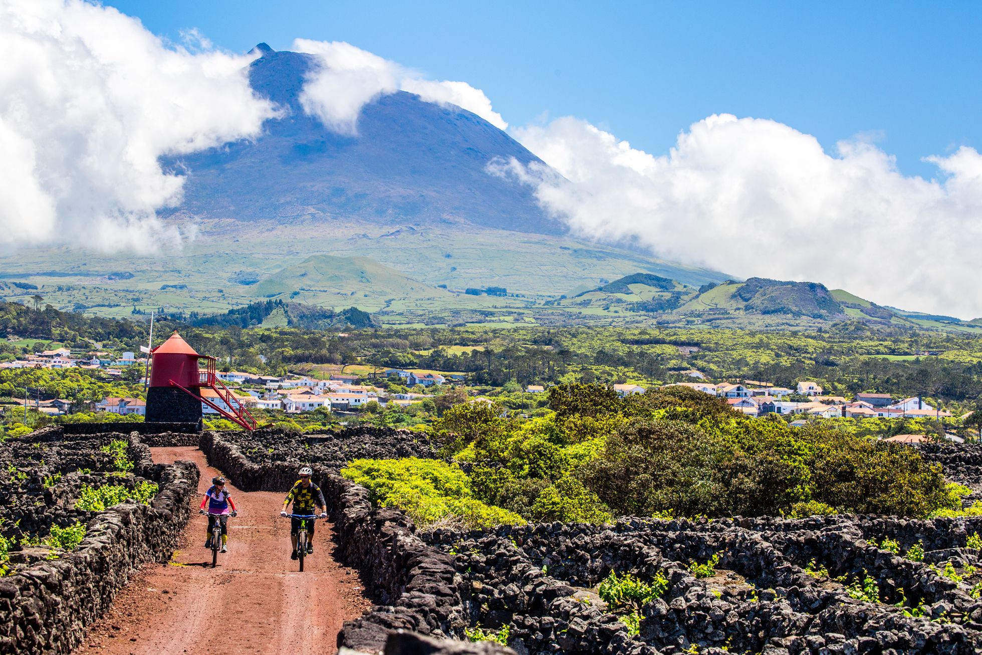
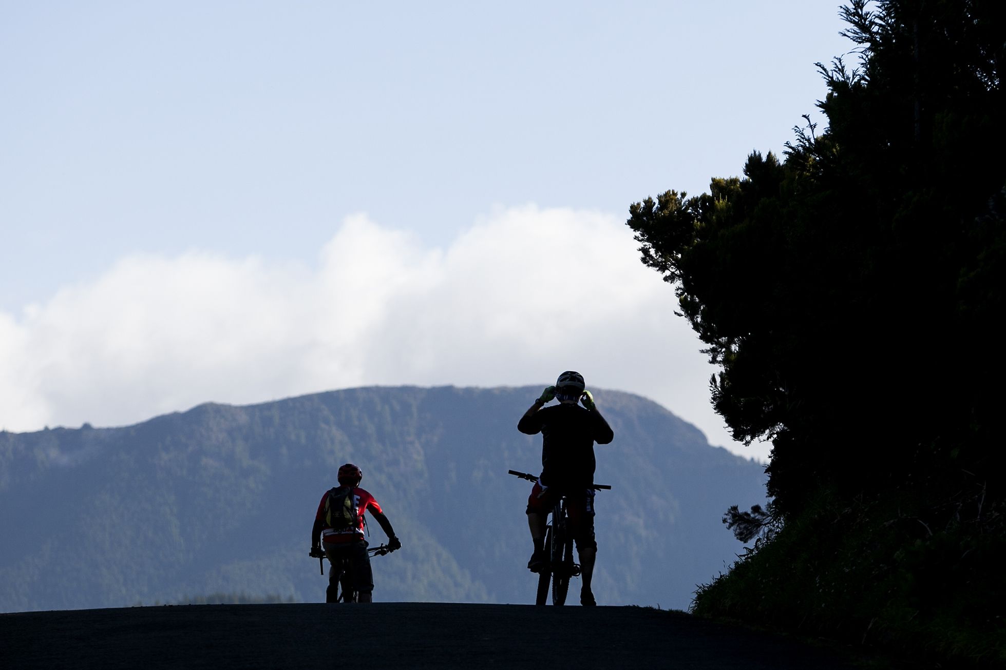
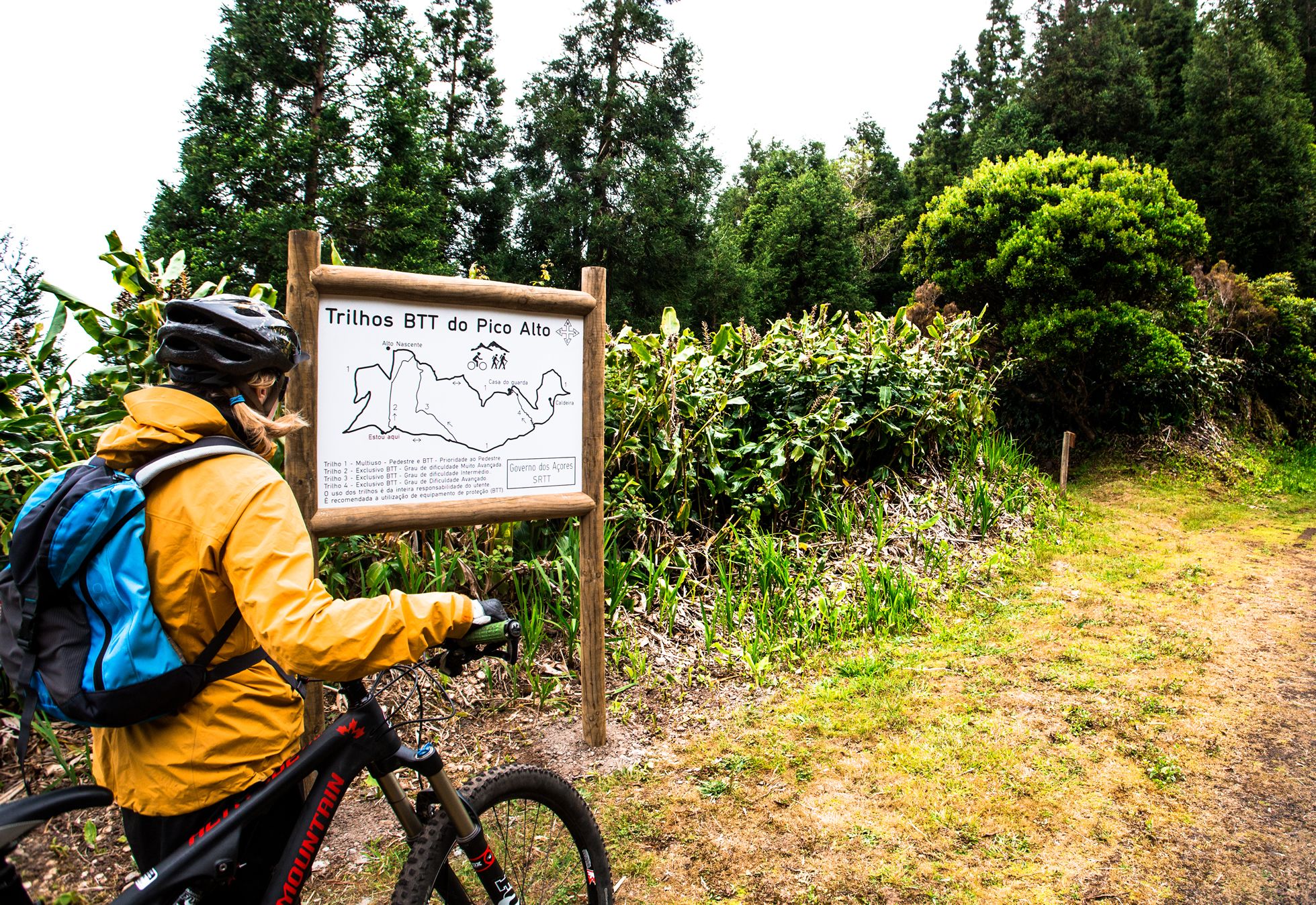
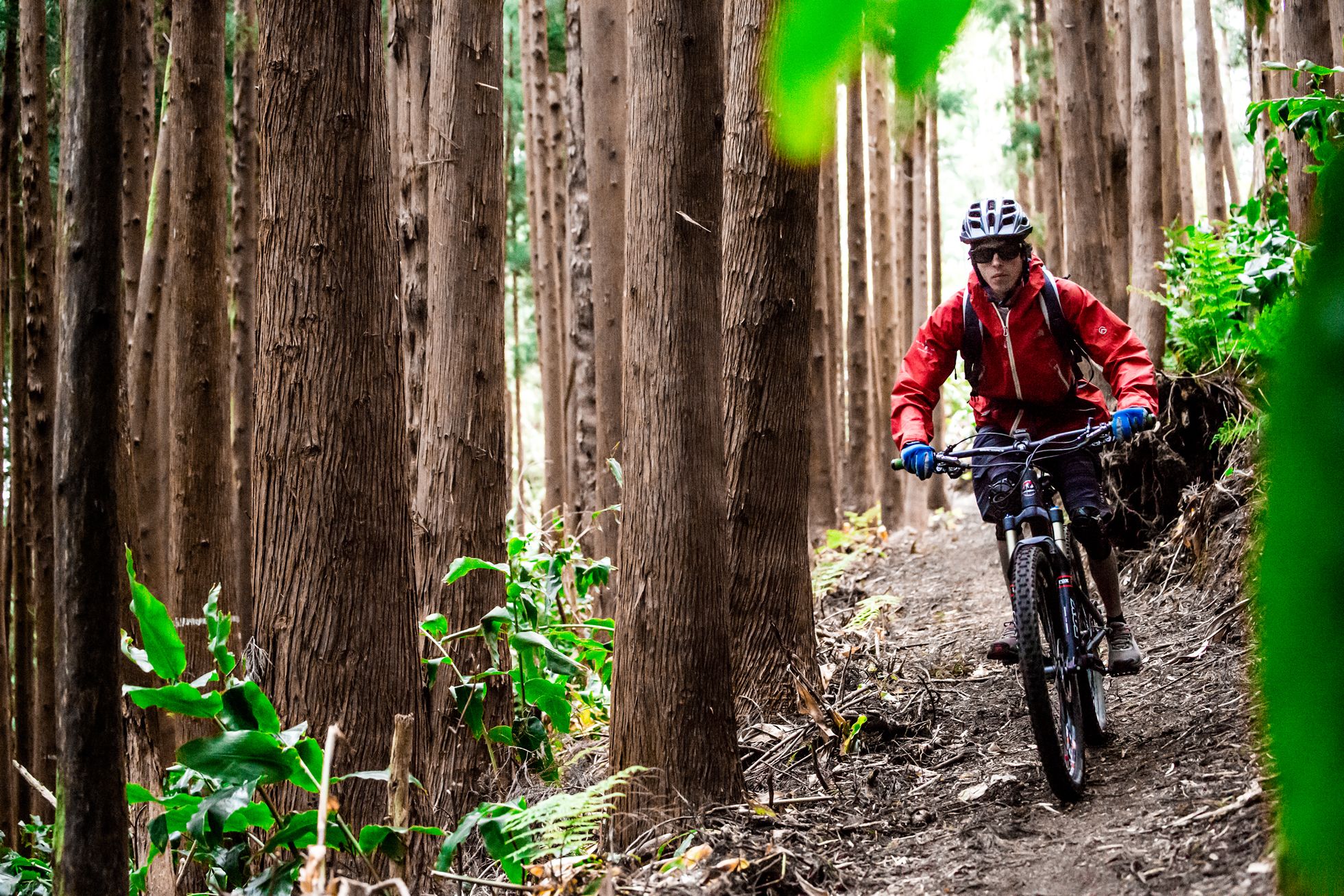
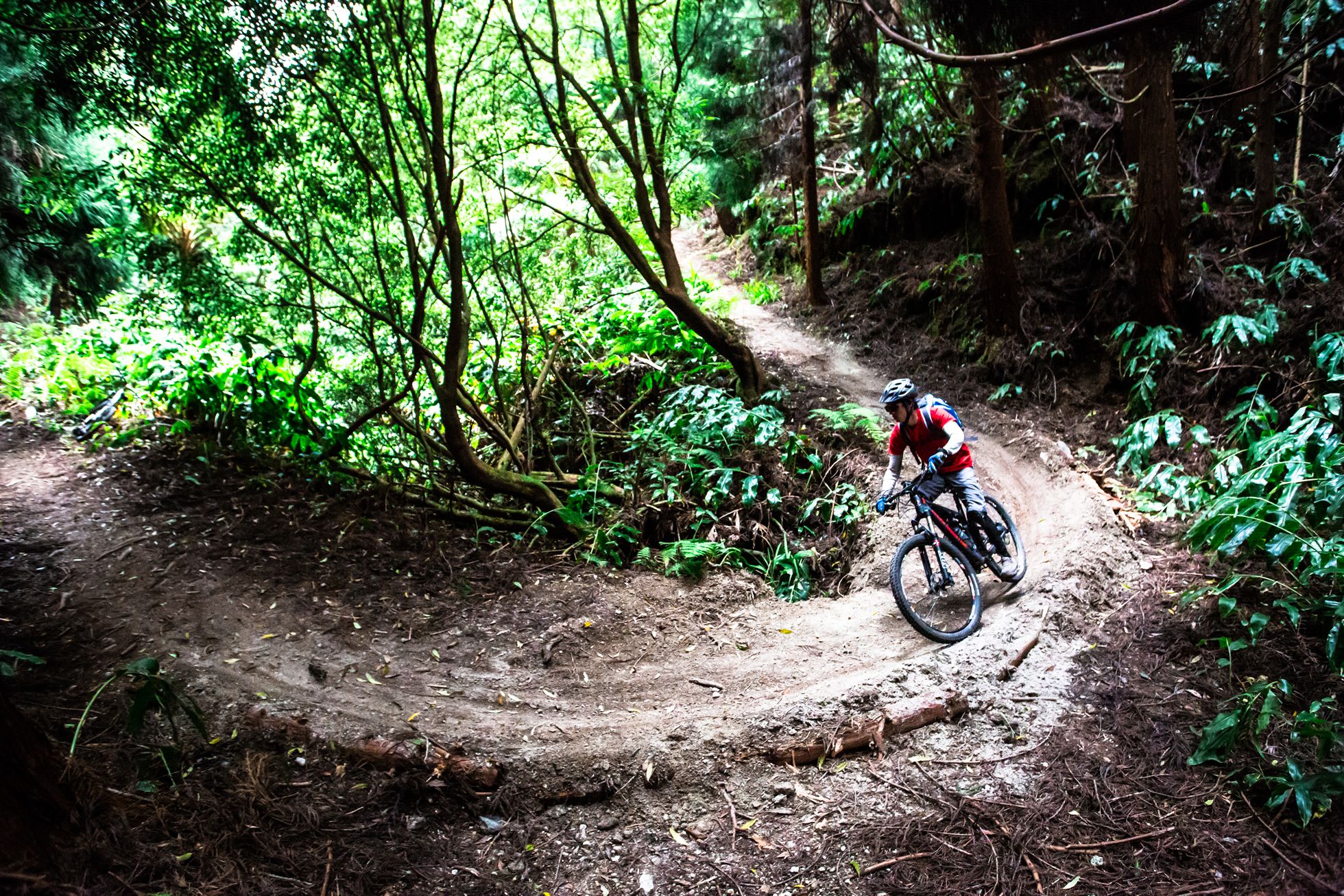

Sete Cidades - Cumeeiras
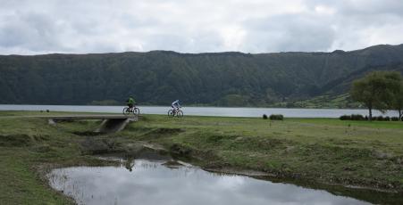
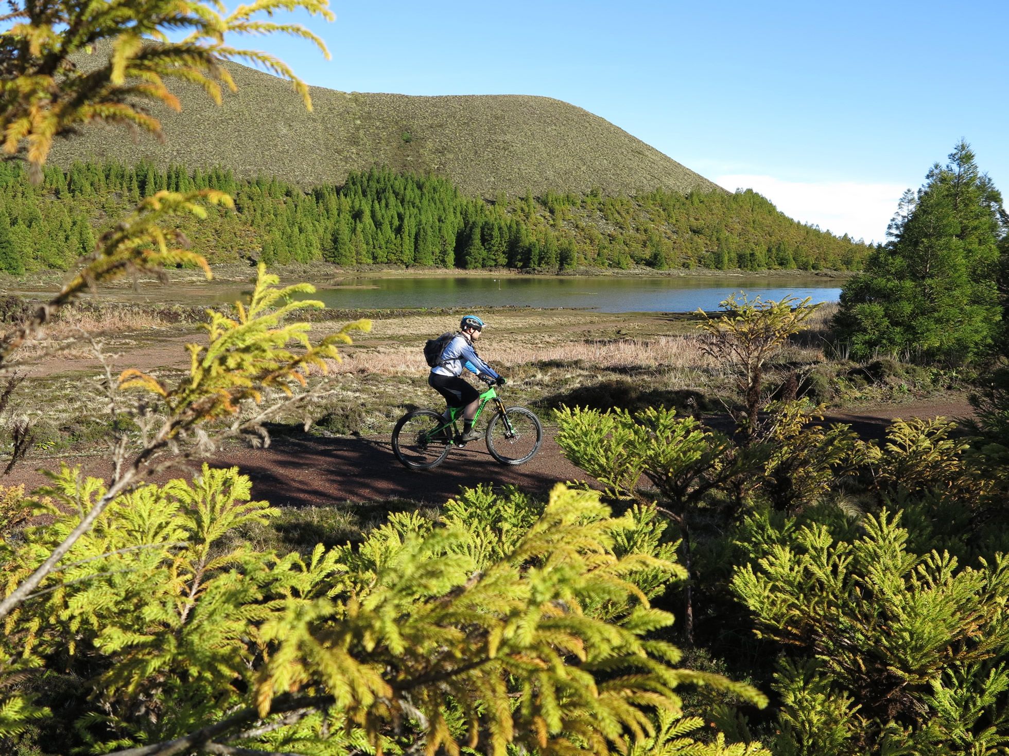
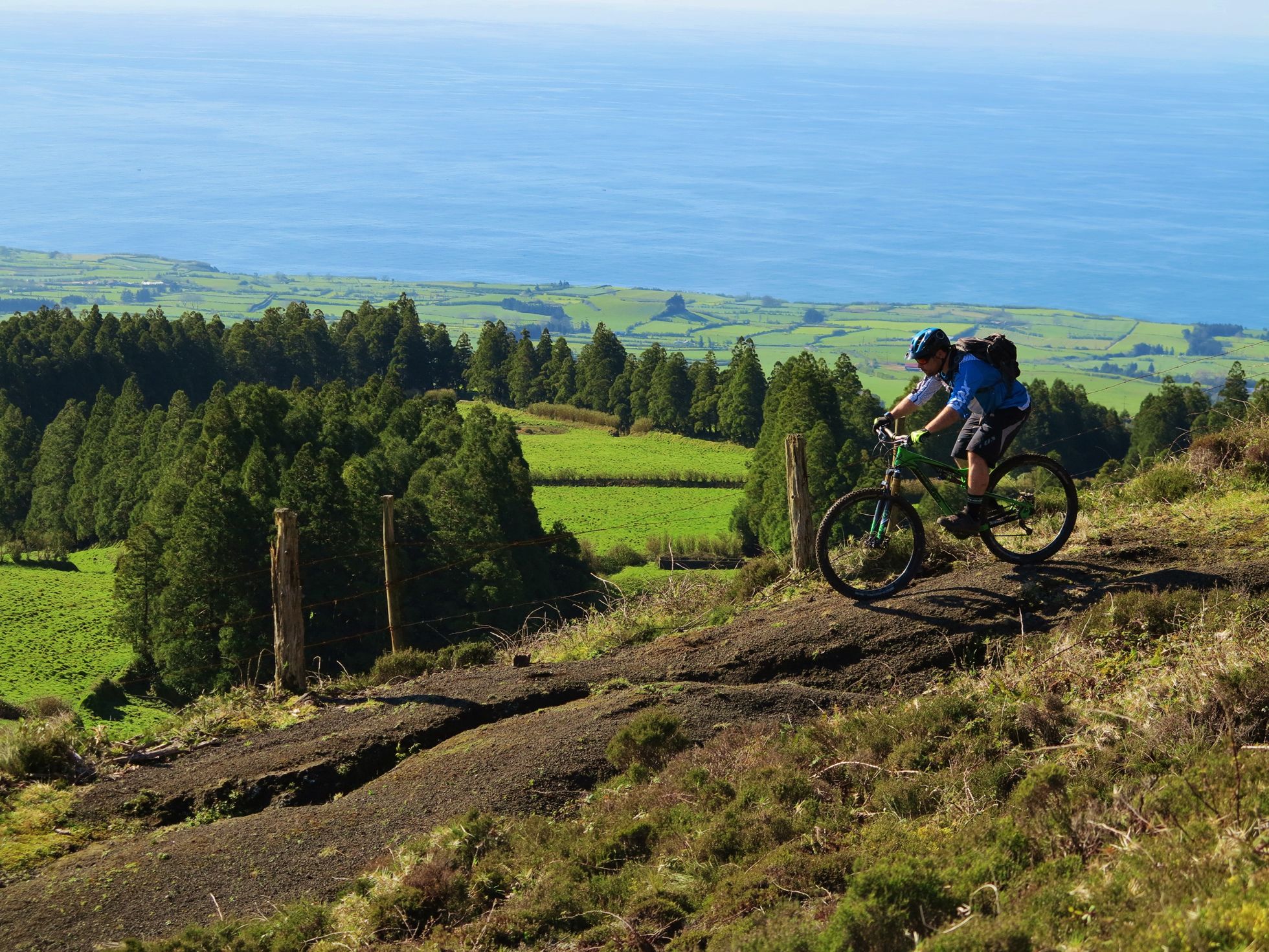
The trail begins on the west shore of the Blue Lake [Lagoa Azul], in Sete Cidades, next to the leisure and restaurant support buildings. Go southwards, via the Rua do Queiro, turn right into the Rua da Cidade and continue until km 1,9, where you turn right. Continue along the dirt road with short slopes in set stone paving, and turn left at km 4,2, onto a sandy track. Turn right onto the main road (ER9-1A), climb the hill and then turn left at km 5,3, and follow the dirt track as far as the crossroads. Continue straight ahead at the crossroads via the Cumeeiras Grandes (main crater ridge) as far as the crossroads for the Pico da Cruz hill. Begin the descent at 14km as far as the crossroads at 17,1 km. Go past, take the track to the left and continue straight ahead. Go down the hill as far as km 18,3, then turn right and keep straight on until you reach the main road EN1-1A, and continue straight ahead. Turn left at km 19,5 and go straight across the next crossroads, skirting the parishes of Stª Bárbara and Remédios. Continue on to km 30, to the Pilar da Bretanha Adventure Park, where you can have fun on the pump track or can take advantage to replenish supplies. Leave the park, turn right and continue on, passing through Pico do Mafra. The climb back starts at km 36, vvia the crater ridge, more precisely through the Ceara area, followed by the Cumeeira Pequena at km 39,2 as far as the Vista do Rei vantage point. Descend via the road called Caminho dos 3 km until you reach the point of departure.