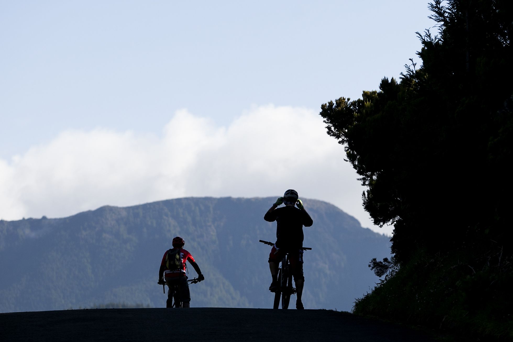

Praia da Vitória_Serra de Stª. Bárbara
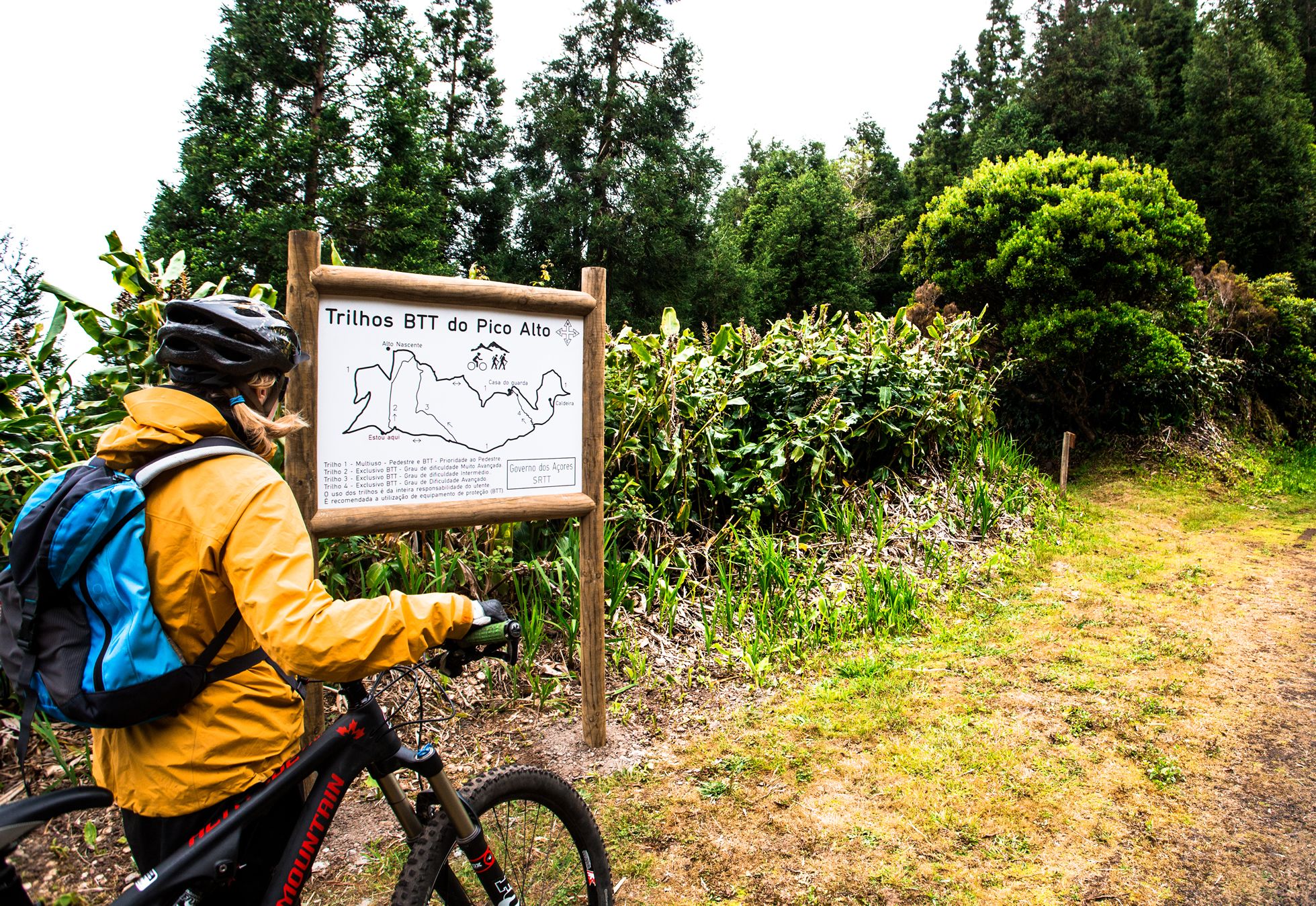
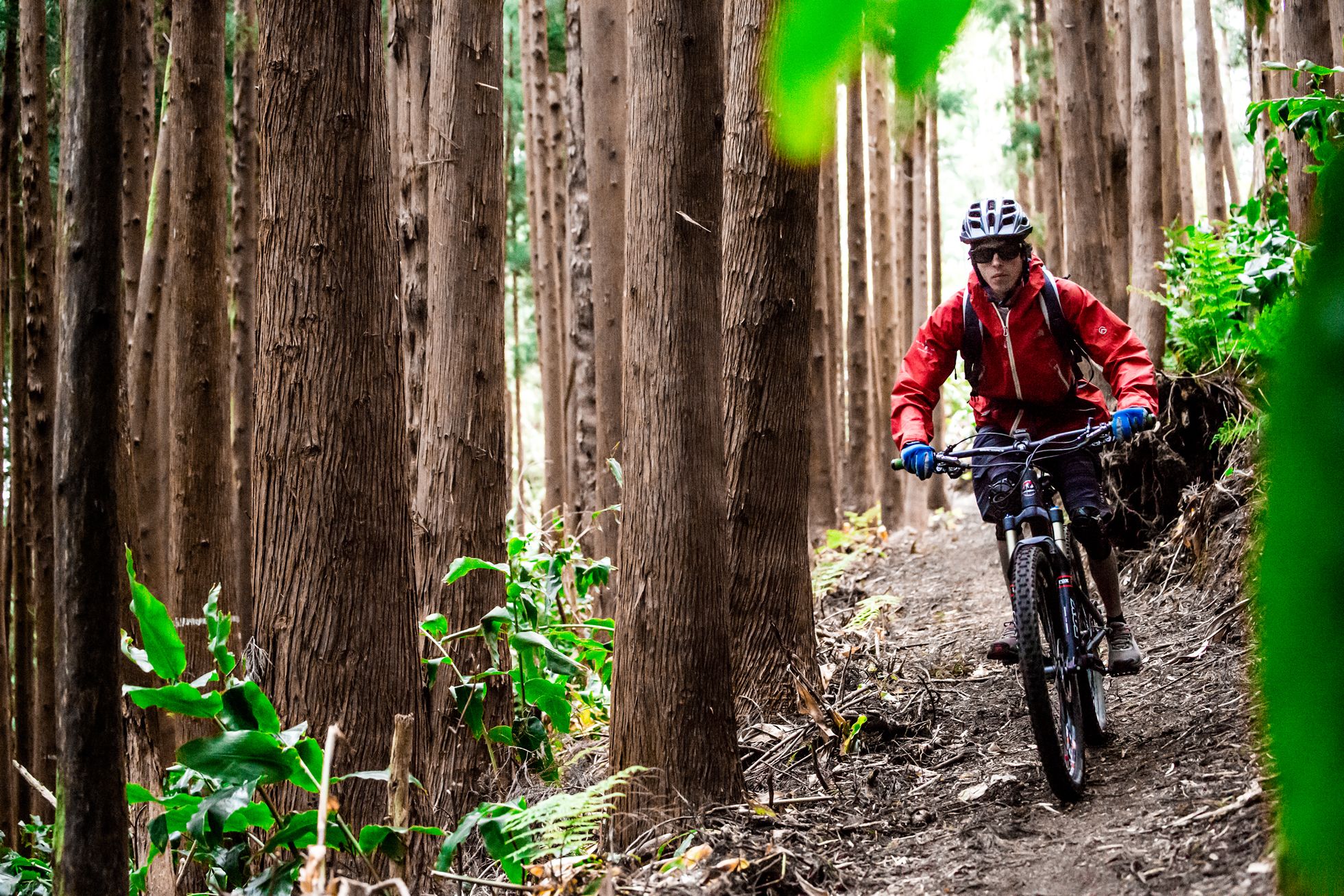
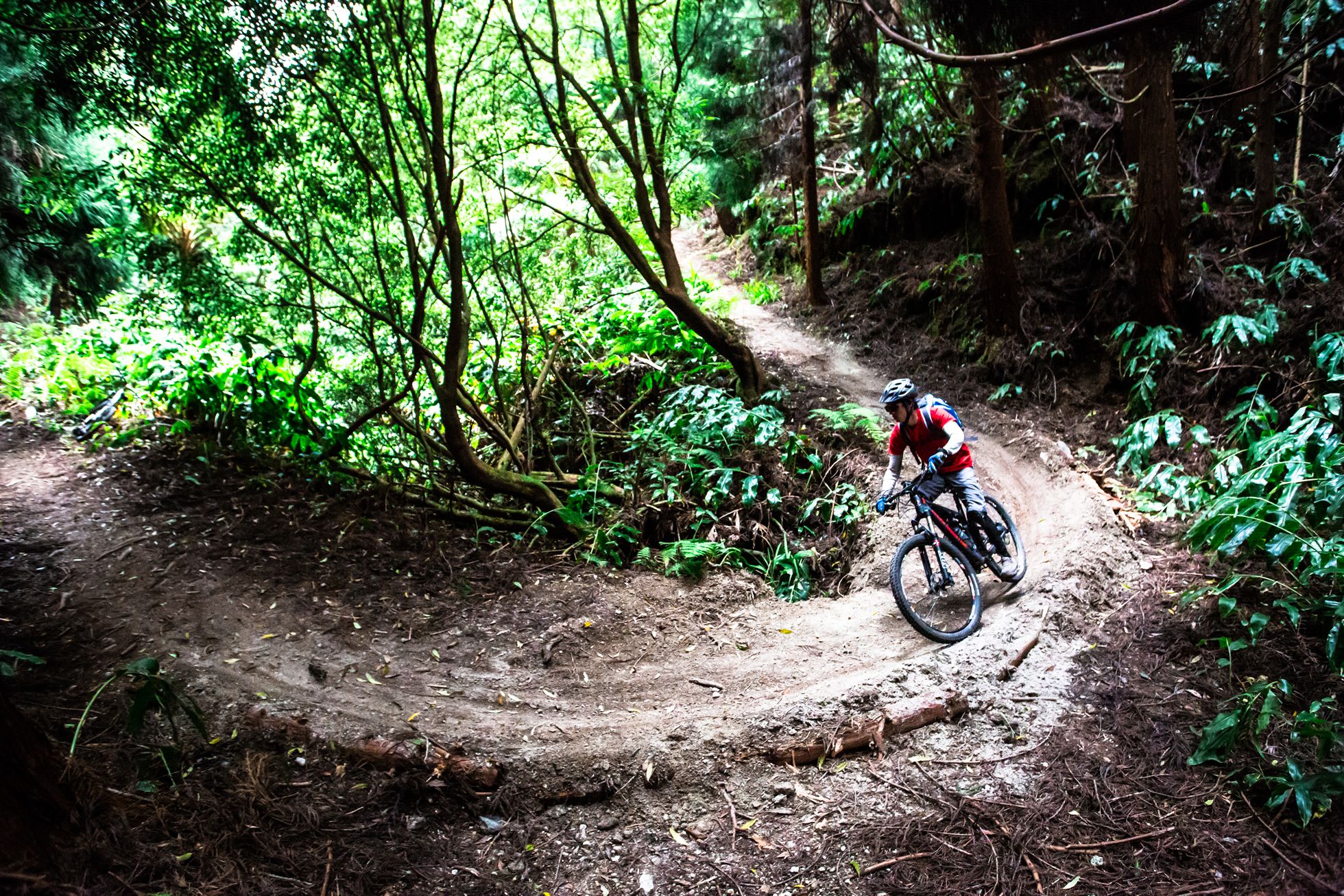
The road bikes routes begins at the Ramo Grande auditorium, going southwards. Take the second turning at the roundabout, and keep straight ahead, passing the Império das Tronqeiras, [an ‘império’ is a small chapel dedicated to the Holy Spirit], and on towards Cabo da Praia. Take the first turning at the next roundabout, passing the Império do Cabo da Praia and the Casa do Povo in Cabo da Praia, continuing south towards Porto Martins. Pass the Império do Porto Martins at km 5,8. Continue along the main road, passing the Baía dos Mós, Ponta das Contendas and Baía da Salga. After passing the Salga Camping Park, at km 14 turn right along the Rua Pedro Francisco. Keep straight ahead and follow the Caminho da Vila through Porto Judeu, passing the fishing port, the Poço D’Além vantage point and the church of Santo António. Keep cycling eastwards, going straight ahead at the crossroads at km 20. Continue on through the parish of Ladeira Grande. At km 21 turn right and climb up via the Canada do Lameirinho, passing the Ribeirinha Museum. At the next crossroads, turn left, to the south, and then turn right until you reach a square. Turn right again and continue on via the Canada da Ribeirinha. At km 25 turn left and when you come to the roundabout, take the second turning, following the which goes northwards to Biscoitos. At km 35, keep straight ahead at the crossroads, and follow the Rego road. This crossroads provides access to the Gruta do Natal [Christmas Cave] and the Lagoa do Negro lake, if you choose to make a detour here. Keep going northwards, down to the parish of Altares. Turn left at the crossroads, by the Altares Museum, and then go west. At km 42,5 you come to a typical restaurant called Caneta. Keep following the regional highway westwards, passing the church of São Francisco Xavier, in the parish of Raminho. At km 47,5 we recommend you stop at the Raminho vantage point, where you can enjoy views of the islands of Graciosa and São Jorge and the Serreta Lighthouse. The road continues to the south, passing the Serreta woods. At km 53,7, turn left and begin the climb up to the top of Stª Bárbara. At km 58,1 there is a sharp bend to the left, and the road zigzags up the hill to the top of the Stª Bárbara sierra, and the tour ends at an altitude of 1015m.