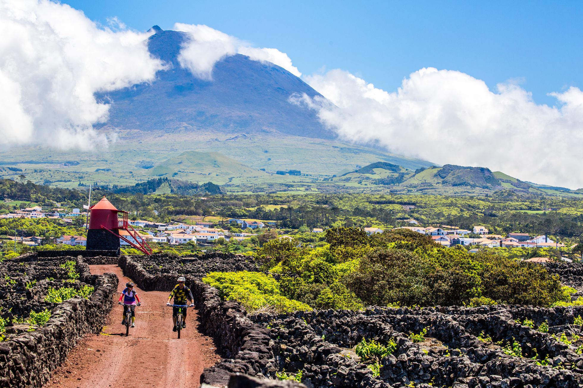

Atalhada
Atalhada
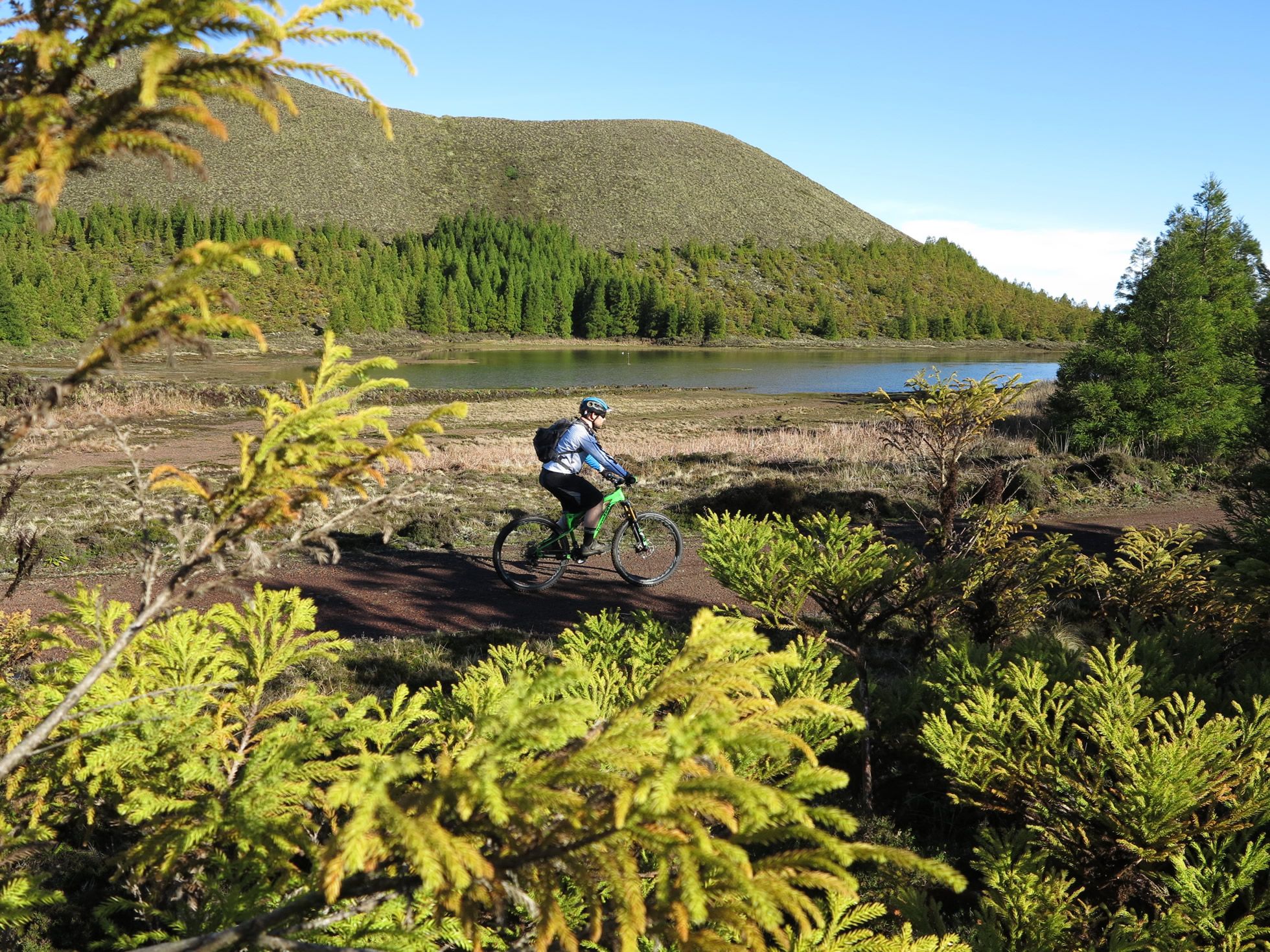
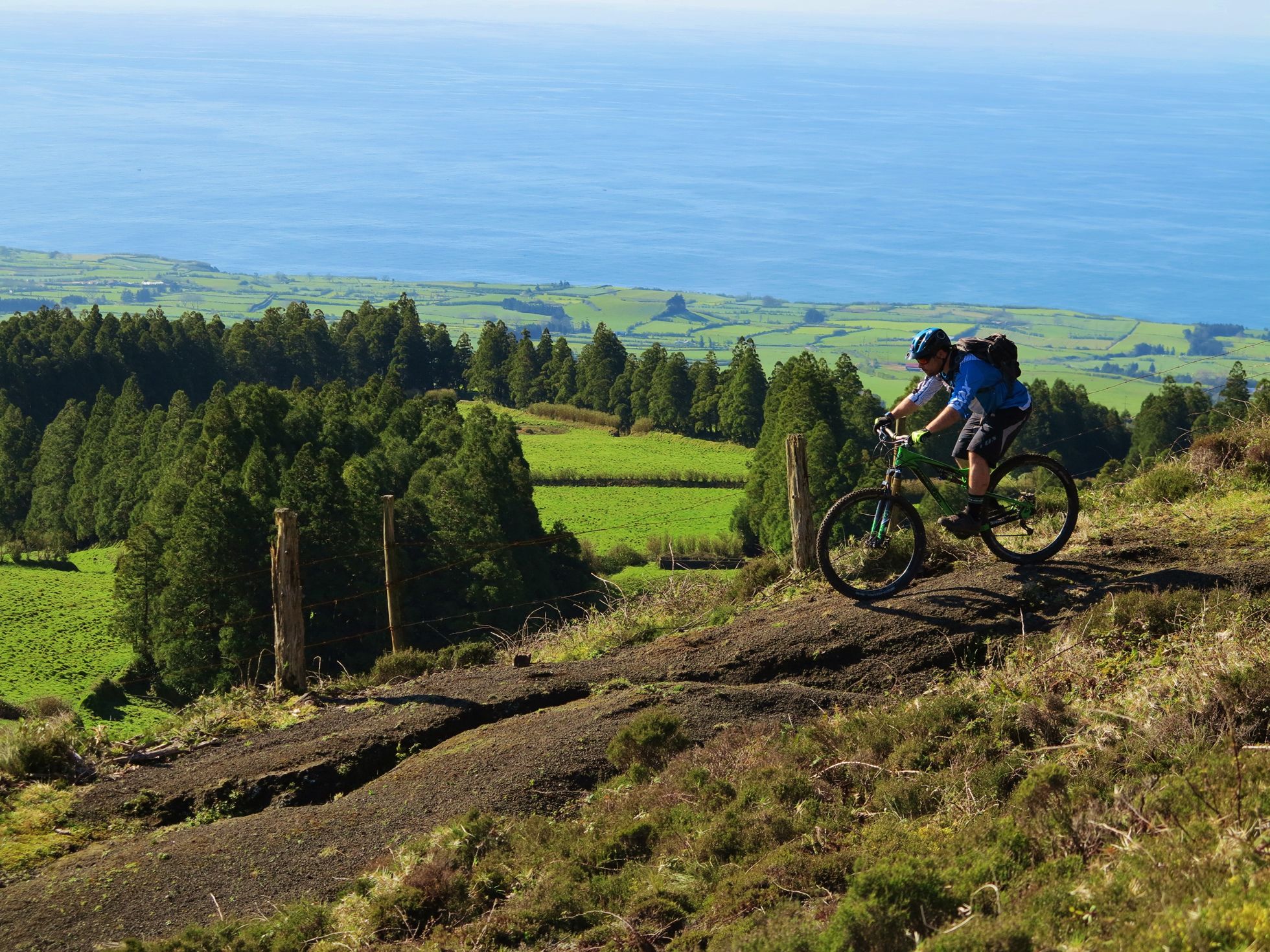
Route Description
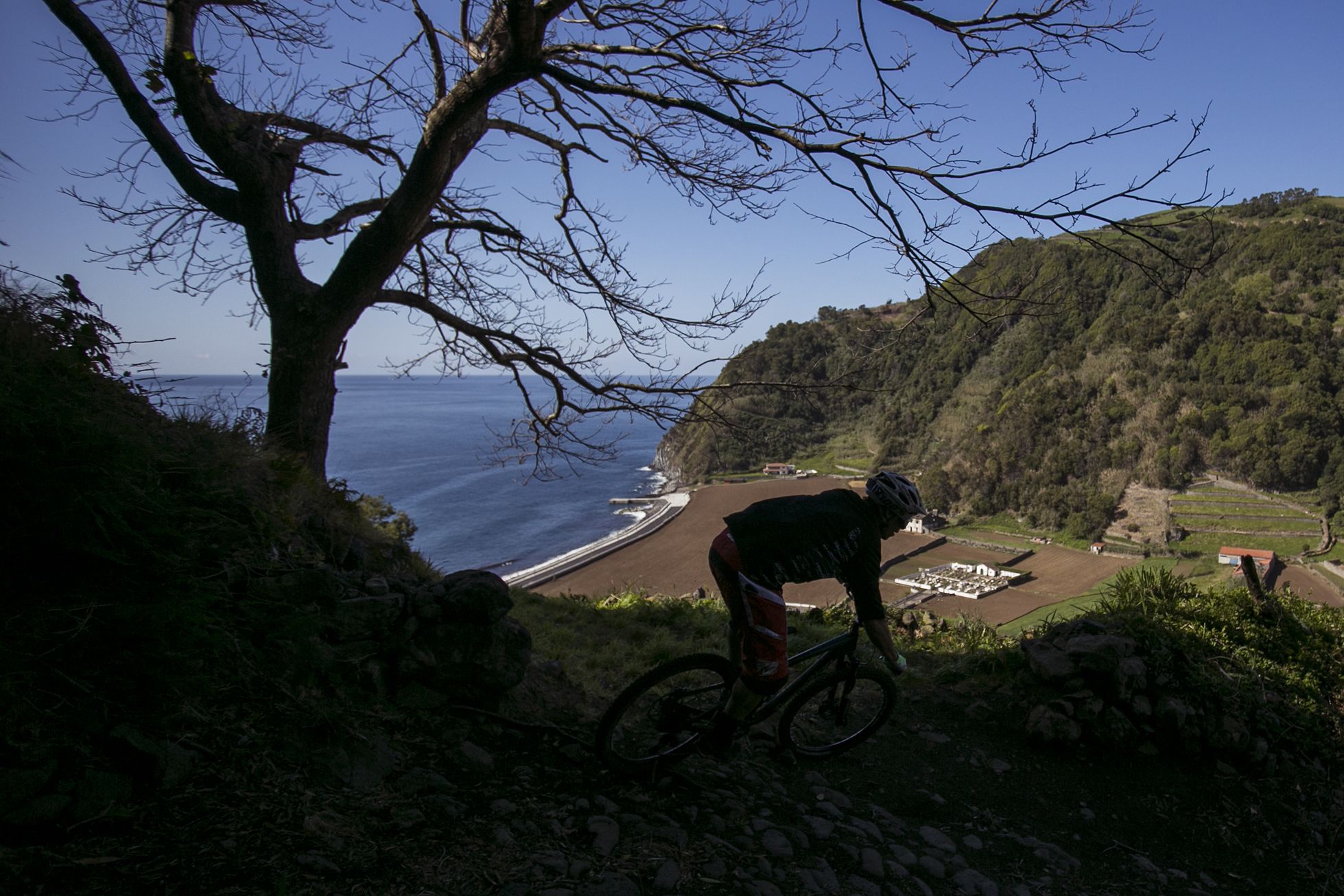
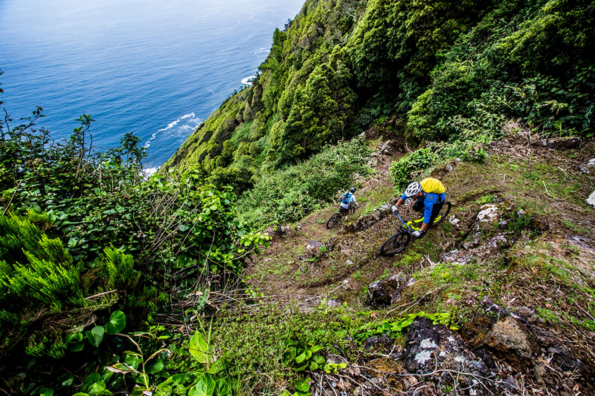
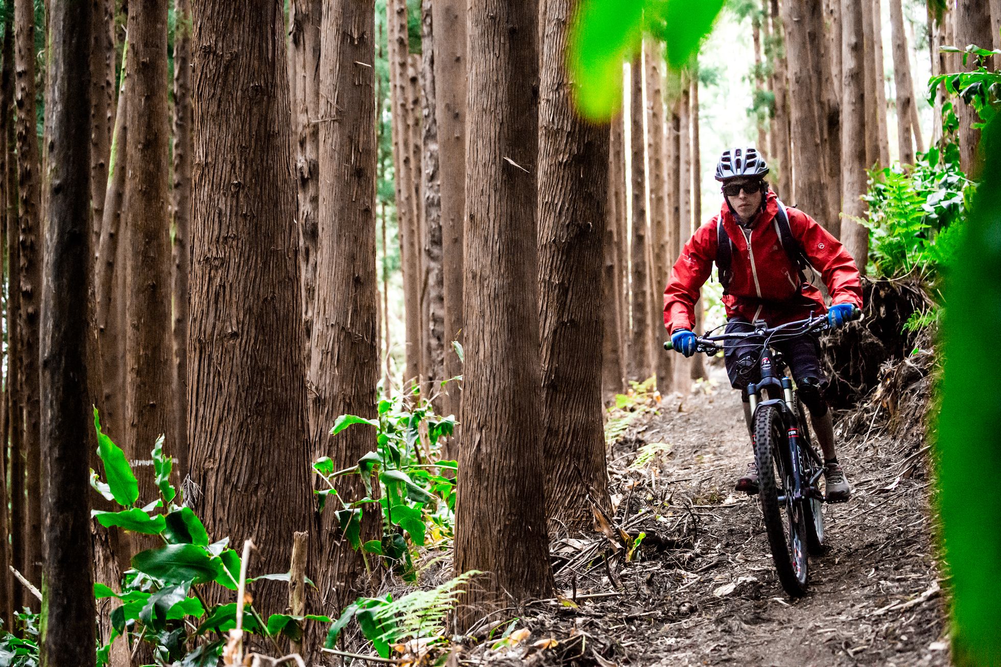
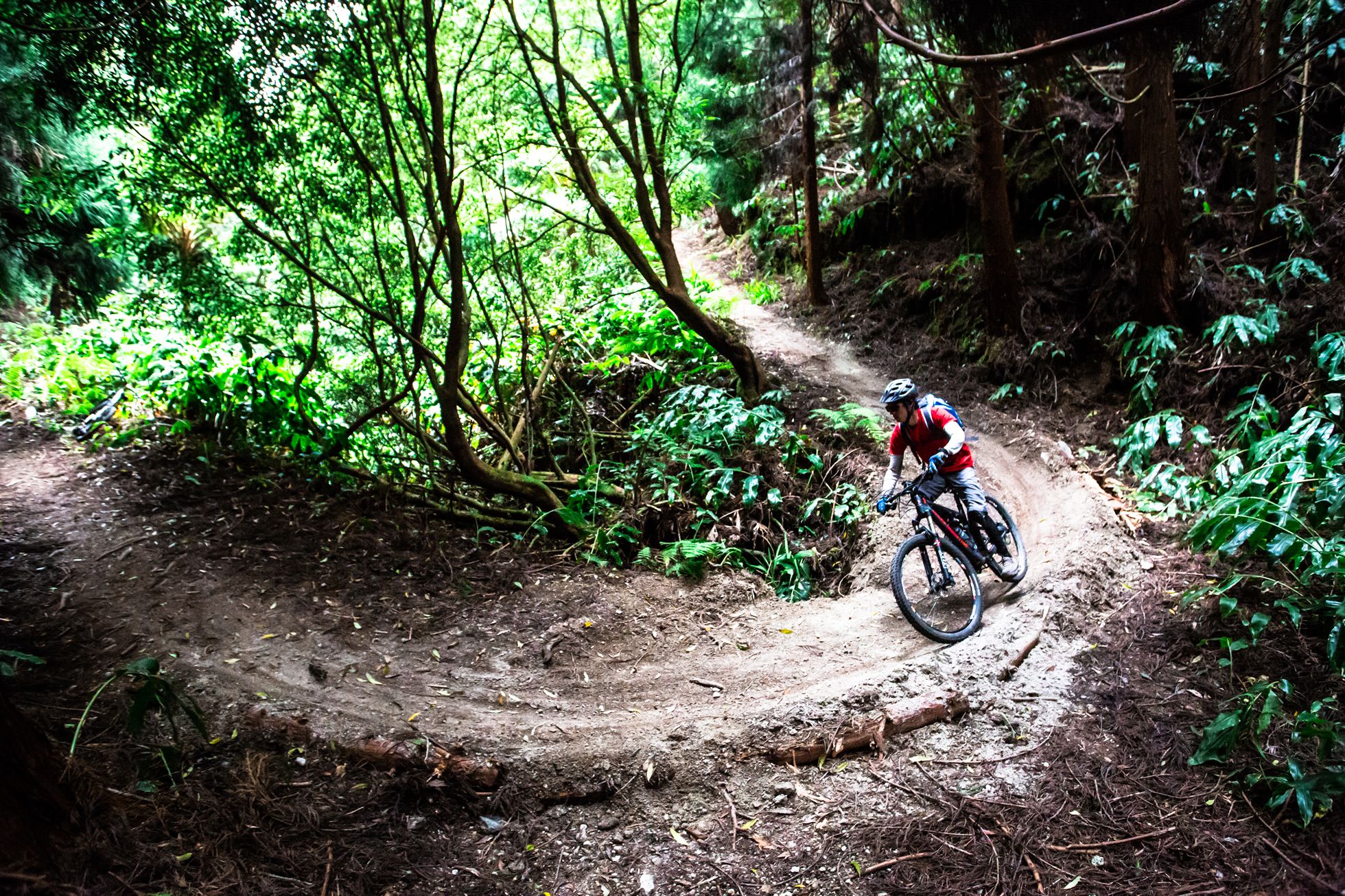
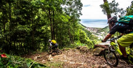
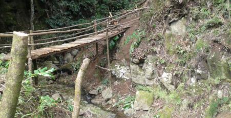
With downhill and enduro bikes, this trail begins on a country lane, which has a fast gravel surface, and is used by vehicles. When you reach a farm building, keep to the right, where the single track begins. There are three drops/jumps at the beginning, followed by some simple bends and straight stretches. Then there is a section in red earth, with a series of bends, ending in an area of hairpin bends and finally crossing a wooden bridge. After that, the trail merges with the end of the Pico Grande trail, in the area of the first hairpin bends on stone.
Altimeter
Route Information
Route:
Atalhada_Faial_da_Terra
Discipline:
Enduro
Duration:
6-8 minutes
Distance:
2,20 Km
Elevation:
358 M
Fitness:
Blue
Technical level:
Red