
Terceira
The Purple Island
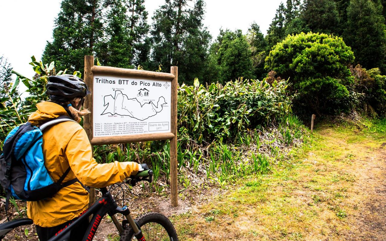
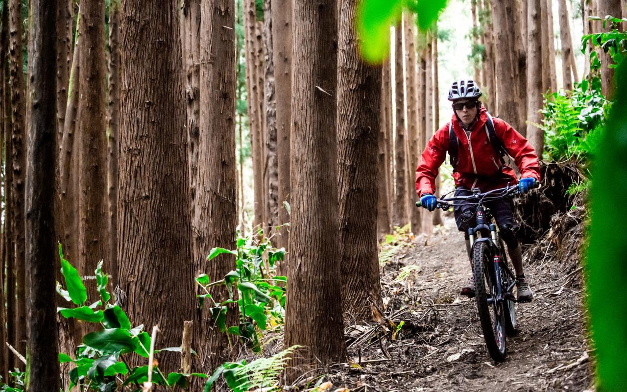
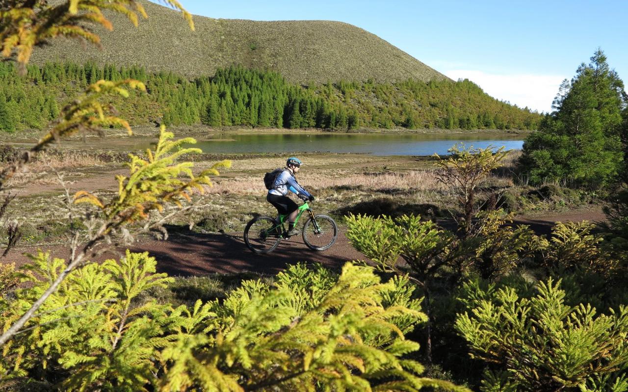
At its centre, there is the Guilherme Moniz Caldera, flooded by lavas with two thousand years old of the Algar do Carvão scoria cone, where it is the biggest spot of heather in the Azores. The same scenario unfolds to the north, at the Biscoito da Ferraria and Pico Alto, and to the west, at Serra de Santa Bárbara, where dense thickets of endemic vegetation remember the native forest of the archipelago, commonly known as laurissilva forest. In this way, Terceira represents the largest area of native forest in the archipelago.
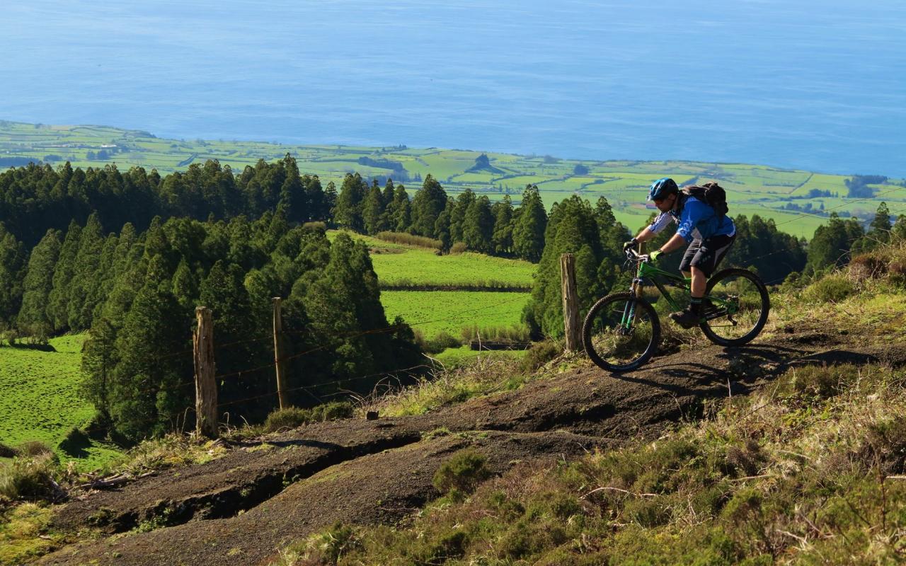
The dominant green of the interior of the island fades on its periphery, where the secular human occupation and the colourful houses of locations dictate the rules. Also, it is where predominate the purple color in some of the façades of the buildings, especially of Angra do Heroísmo.
Volcanic Landscapes
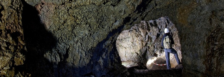
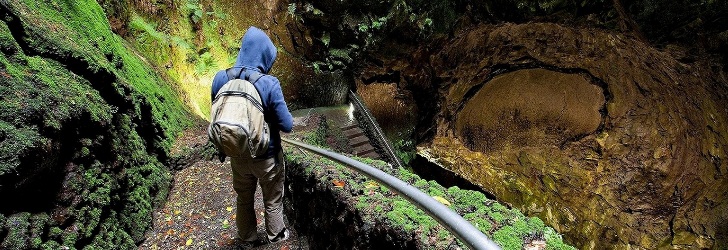
The vestiges of the volcanic activities on the island of Terceira assume peculiar and spectacular forms, that can be easily visited. In the underworld, stands out the Algar do Carvão, a volcanic chimney that dazzles by its immensity space. From its arched roof hang remarkable silica stalactites, the biggest in the world. The Gruta do Natal, a cave consisting of a lava tube, is a wonder for its extensive, straight, long passages. The walls, ground and ceiling have different colours and shapes, transforming the cave into a mystic place. Outside, there are the Furnas do Enxofre, are eloquent testimony to the strength of the Azorean volcanism. The landscape is filled with fumaroles, surrounded by a red soil contrasting with the green of the moss. The whole atmosphere is warm, with a characteristic smell... of sulfur.
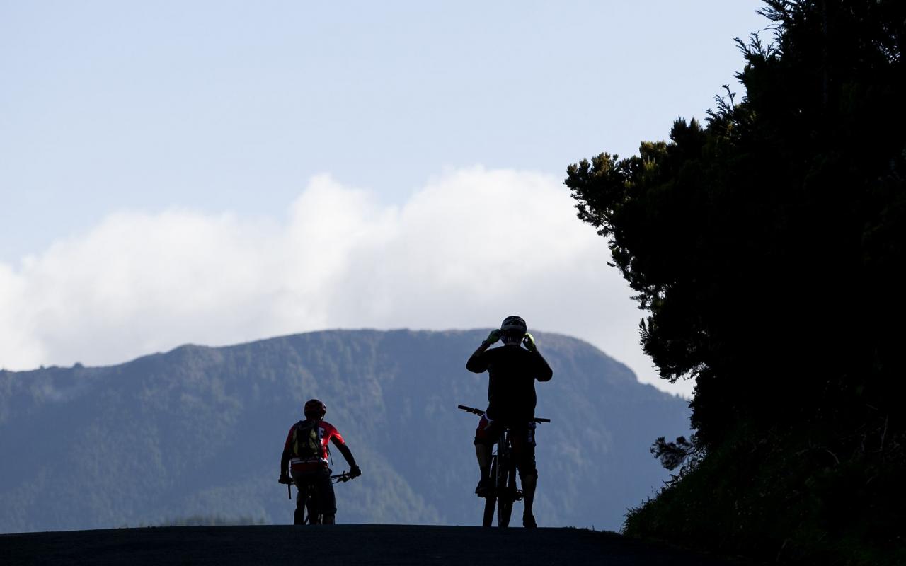
But it is in the highest of its mountains and hills, in belvederes strategically placed, that can be best absorb the immensity of its volcanoes and internalize the way as the human shape them.
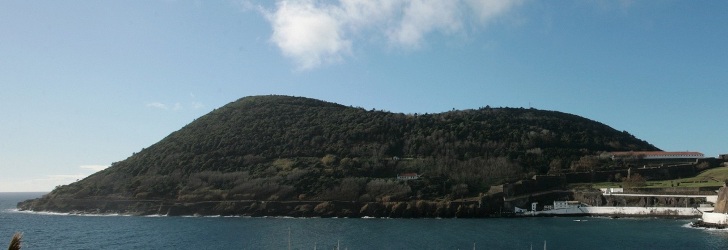
Going to the hill of Monte Brasil, we are not aware that we are stepping on an old volcano that started in the sea – the largest and best preserved of the Azores – to enjoy one of the most fabulous views over the city and the bay of Angra do Heroísmo. It is at the top of the Serra do Cume that one can grasp the geometry of the endless stone walls and fences of hydrangeas that delimited the pastures of Terceira Island. From the Facho belvedere, where lies the imposing monument of the Imaculado Coração de Maria, one have an exceptional view over the beach, marina and houses of Praia da Vitória and the whole plain of Lajes which, certainly, attracted the implementation of the airport. And the list could go on.
Coastline
On the beach of Praia da Vitória, the most important of the island, is coupled history with fun, urbanity with isolation and sun with warm water. Rather, there are many available tidal pools, more or less equipped with support infrastructures: Porto Martins, Biscoitos, Negrito and Silveira, just only to name some. Tongues, headlands and bays also mark the coastline of Terceira island, with frames of rare scenic beauty, such as the bays of the Quatro Ribeiras, of Salga, of Mina or of Fanal.
The coastline of the western side of the island is more linear and marked by high and dizzy cliffs, which fall abruptly in the deep ocean, here and there interrupted by headlands that advance into the sea, testimony of the latest thick lava flows. The Ponta do Raminho or the Ponta do Queimado, with the Serreta Lighthouse as sentinel, are clear examples. Or the area of the Lagoa da Fajãzinha, in Agualva, a unique retreat, designed “to ruler and square” by a wise nature.
The second most inhabited island of the Azores, with 56,437 inhabitants (2011 data), the Terceira island has 401.9 sq. Km, with 30.1 km long and 17.6 km at its maximum width. It is the eastern island of the five that form the central group and is the nearest one of São Jorge island, 37.9 km away. The highest point of the island, at 1,021 m altitude, is located in the Serra de Santa Bárbara, at 38°43’47’’ latitude north and 27°19’11’’ longitude west.