
Flores

The pink island
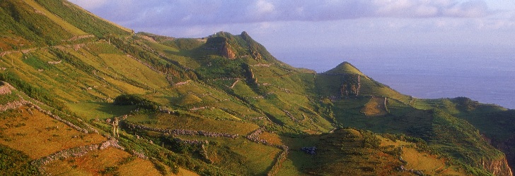
The undulating central massif of volcanic origin dominates the whole landscape. Cones with smooth slopes rise from the top of this plateau, where craters with sharp, rocky walls have been transformed in lakes. These are the remains of a once rebellious Nature that now welcomes visitors with kindness. From the summit of the hill Morro Alto, one can see an intense green ocean where the native laurissilva forest is still present. Among the intense greens of the vegetation, there are outstanding waterfalls and streams that water a natural garden of colourful flowers, where the pink of the azaleas and hydrangeas stands out.
Volcanic Landscape
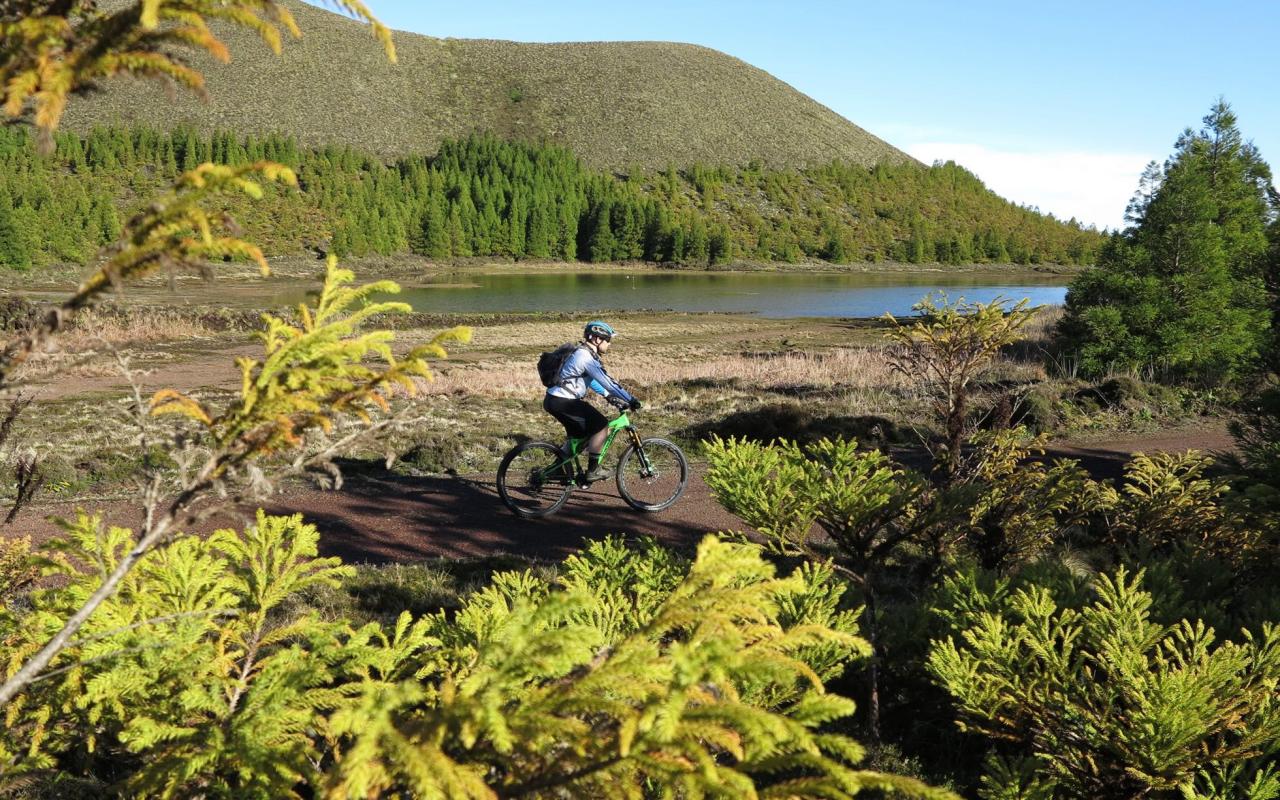
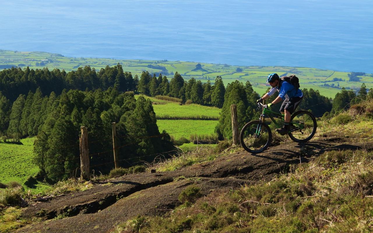
Craters, lakes and streams dot the landscape of Flores. The water of the streams flows either lazily at the surface in the central plateau or quickly at the waterfalls and along the long, deep valleys. And before reaching the ocean, it is still powerful enough to move the turbines at the island’s several hydroelectric power stations.
The island features seven volcanic craters that have changed into beautiful lakes. Despite being very close to each other, the Caldeira Rasa and the Caldeira Funda, slightly to the south, are located at different heights. The luxuriant vegetation and the bunches of flowers on the slopes are the natural setting of the island. Nearly at the island’s centre, there are the craters: Caldeira Branca, Caldeira Seca, Caldeira Comprida, and Caldeira Negra (or Funda), the latter with a depth of 105 metres and a special shade of blue. Isolated from the others, the Caldeira da Lomba is surrounded by a small hill and hydrangeas.
One of the most famous monuments of the Azores, the rock Rocha dos Bordões is made up by a large set of vertical basalt columns. The prismatic or columnar jointing resembles a pipe organ and stands out at the top of a hill. Covered by moss, lichen and other vegetation, the basaltic rock changes its colour throughout the day as if requesting our eternal return to this site.
More geological formations with peculiar shapes can also be seen at the hill Morro dos Frades, where some see on the rock the shadows of a friar and a nun. Even more symbolic, the Monchique Islet represents the westernmost piece of land of the European Continent. Seen from Vigia da Ponta Negra, close to the Albarnaz Lighthouse, this black rock puts a full stop to Europe and serves as a foreword for the discovery of an island and of an archipelago.
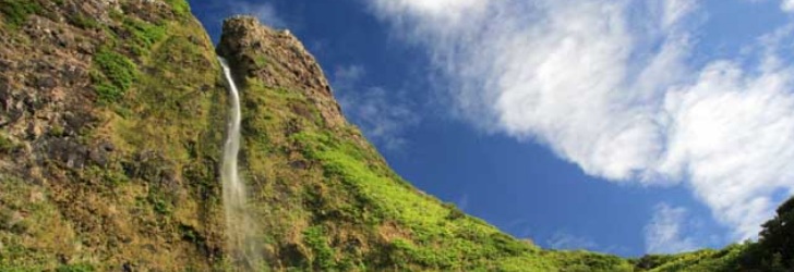
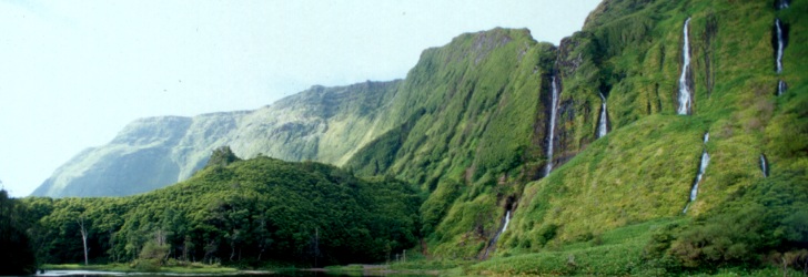
The area between Fajãzinha and Fajã Grande is one of the most beautiful coastlines of the Azores. Through the long green wall that borders this area, there are almost twenty waterfalls, with the one named Ribeira Grande standing out given its 300 metres height. At the foot of the cliff, there are several permanent puddles, such as the Poço do Bacalhau and the Poço da Alagoinha, which is also known as Lagoa dos Patos. A walk to the cliff provides you with the opportunity of enjoying from a close distance the waterfalls and the scenery that Nature has carved out, which is an invitation to contemplation and to a reinvigorating swim. There is the dark grey colour of the rock, the green of the luxuriant vegetation, the white from the foam and the crystal blue of the water that come together to offer a most prodigious view.
Coastline
Countless islets, headlands, shoals, inlets, coastal caves, prismatic jointing, waterfalls, and impressive valleys are some of the particularities that the coastline of Flores has to offer. Adorning the high cliffs of the south coast, Fajã Nova at the Ponta da Rocha Alta and Fajã de Lopo Vaz can be reached through a walking trail carved along the cliff.
On the island’s north coast, the low and linear coastal cliff between Ponta Delgada and Ponta do Albarnaz gives way to the insurmountable terrain of the island’s northwest coast, which can only be crossed through walking trails, such as the one between the lighthouse at the Ponta do Albarnaz and the Ponta da Fajã. It is a difficult trail but it affords breathtaking views.
On the other hand, at the lava fajãs of Santa Cruz, Lajes and Fajã Grande, the sea softly embraces the low rocky tips of black lava, and on calm days, it highlights a glittering seafloor titillating with life.
The island of Flores is 16.6 km long and has 12.2 km at its maximum width, which translates into a surface of 141.4 sq. km. Together with the island of Corvo, which is 17.9 km away, it forms the Western Group of the Azores Archipelago. The European Continent has its westernmost point on this piece of land where 3 793 people live (2011 data). At an altitude of 911 metres, the Morro Alto is the island’s highest point and is located at 39°27’48’’ latitude north and 31°13’13’’ west.